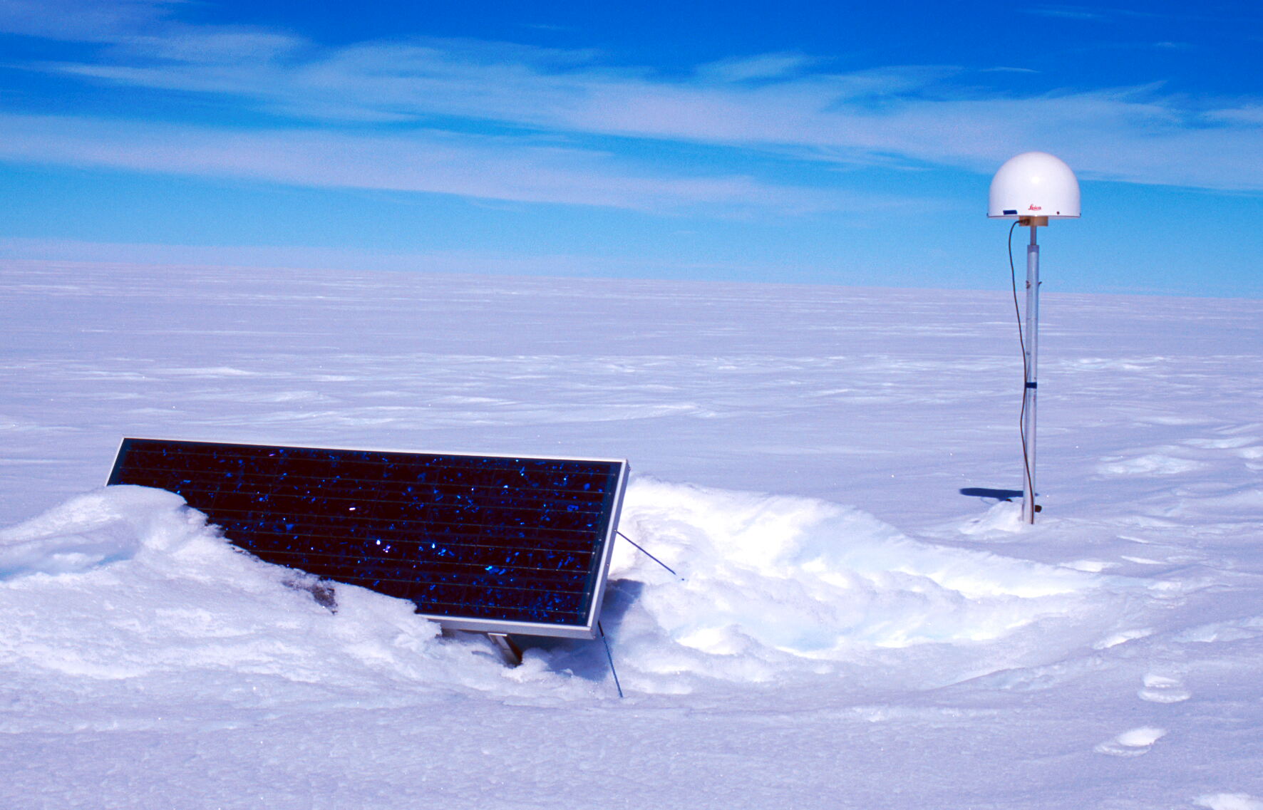
Tidal Monitoring site TS2 on the Amery Ice Shelf / Lambert Glacier
(Click on image to view full resolution)
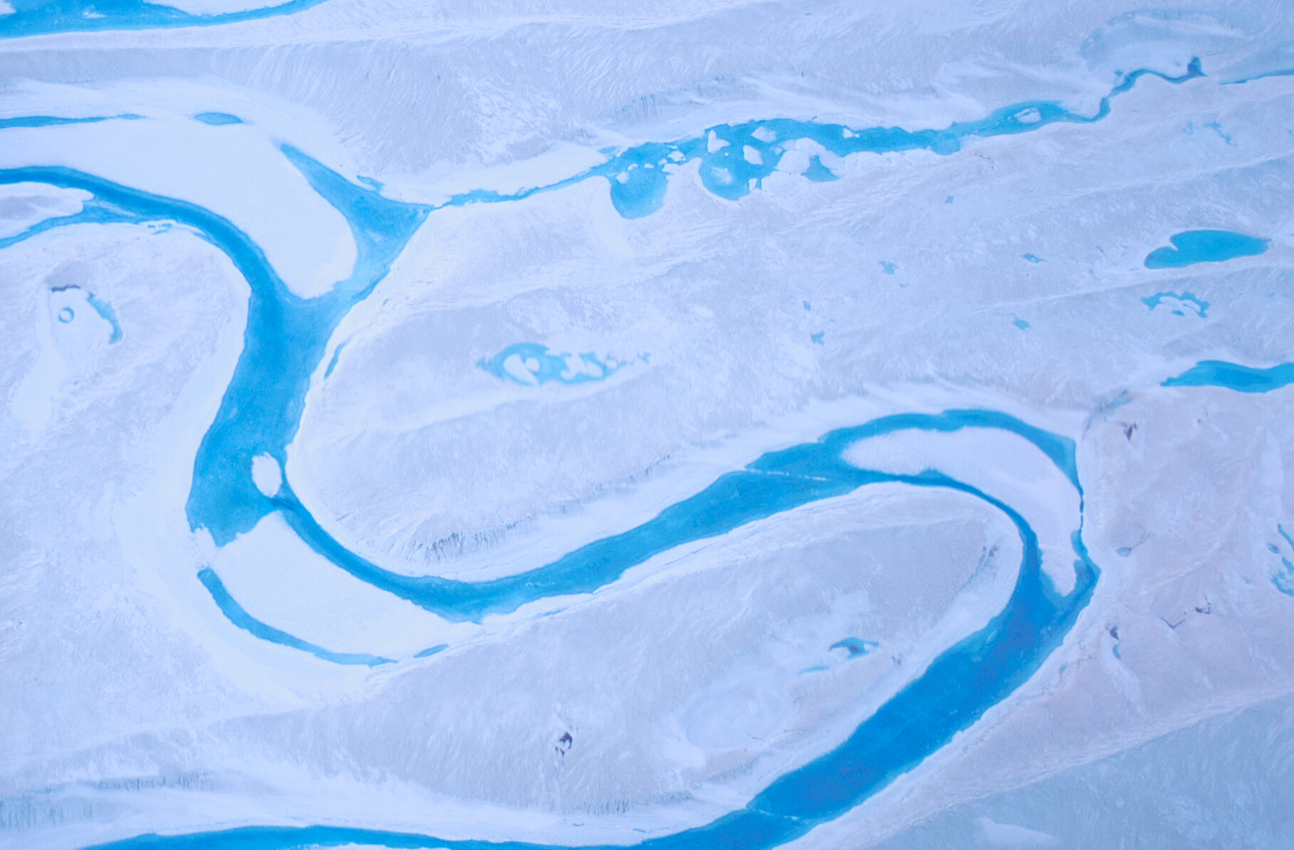
Lambert River, a major melt river on the surface of the Lambert Glacier
(Click on image to view full resolution)

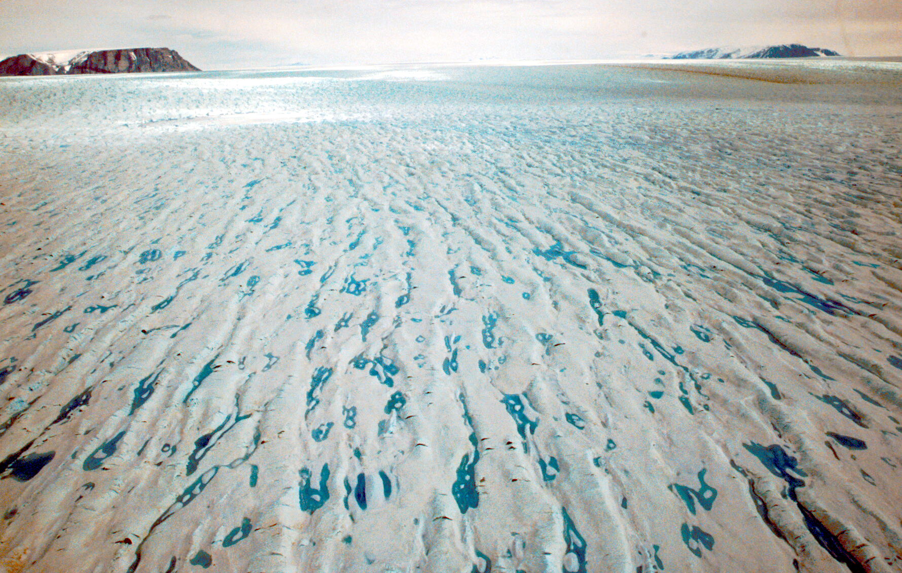
Surface melt rivers, streams and lakes on the Lambert Glacier
(Click on image to view full resolution)

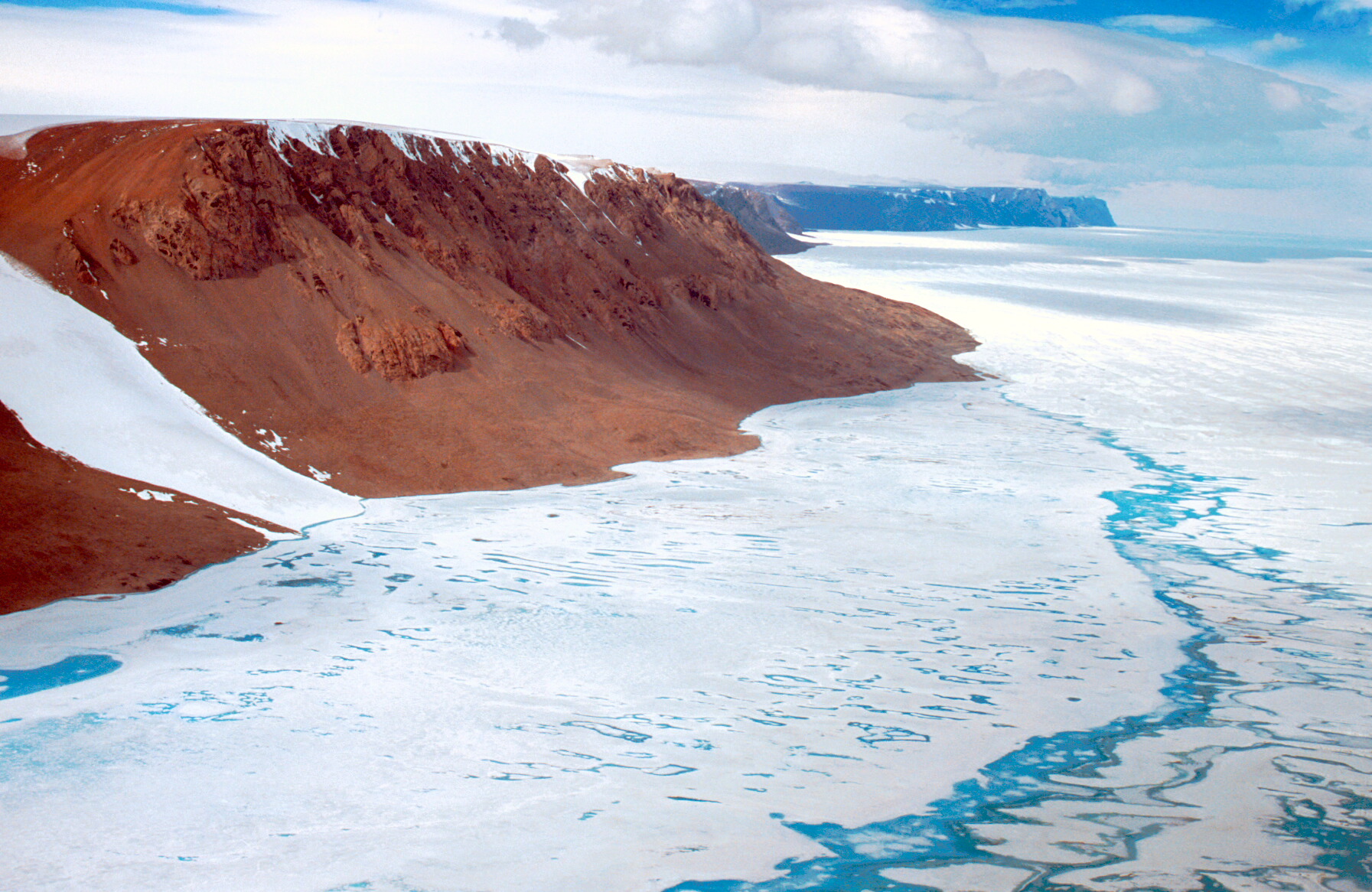
Northern Mawson Escarpment with surface melt on the Lambert Glacier
(Click on image to view full resolution)

Northern Mawson Escarpment with surface melt on the Lambert Glacier
(Click on image to view full resolution)
Looking south along the Mawson Escarpment, Lambert Glacier to the right
(Click on image to view full resolution)

Major crevassing at the junction of the Lambert and Mellor Glaciers with Cumpston Massif in the background
(Click on image to view full resolution)
Surface of the Lambert Glacier, looking south-west along the Mellor Glacier between the Cumpston massif (left) and Mt. Rubin (right)
(Click on image to view full resolution)

Flying down the Lambert Glacier, looking north from 800m above the glacier surface
(Click on image to view full resolution)

Lambert Glacier with thesnow covered Fisher Massif to the right
(Click on image to view full resolution)